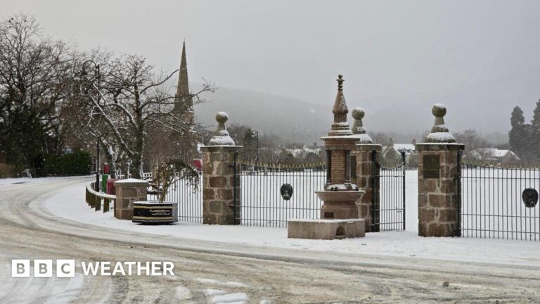
As that rain shifts northwards into Wales and the west Midlands during the late afternoon and evening, some of it will turn to snow, especially over the hills.
Several centimetres of snow are expected to accumulate over high ground, above around 150-200m elevation, with the possibility of up to 15cm over the highest ground of mid and south-east Wales, as well as Herefordshire and Shropshire.
At low levels a mix of rain and sleet is more likely, with the possibility of a little wet snow at times.
This wet and wintry mix could mean difficult travelling conditions for some during Wednesday evening and overnight, as well as possible power cuts.
Some snow could also start to affect the Peak District, Pennines and possibly south-west Scotland during the night.
There remains some uncertainty in the forecast so it will be worth keeping up to date with the hour-by-hour details on the BBC Weather website and app.
Low temperatures will remain part of the story, with the UKHSA cold alert, external covering all of England except for London and the South East.
This warns of the risk of minor impacts on health and social care services. Vulnerable people in particular may be affected by this spell of colder weather, with more use of healthcare services and an increased risk to life.
However, significantly milder weather is expected by the weekend.


